Engineered Precision for Technical Teams
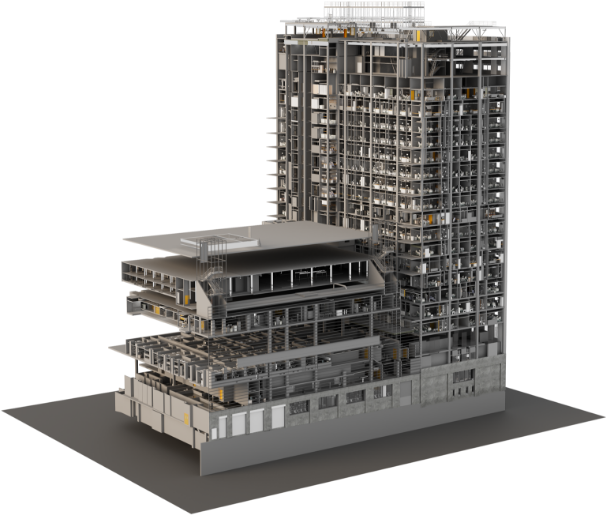
MESUR combines survey-grade capture, structured processing, and BIM-ready delivery so technical teams can work from reliable existing-conditions data without unnecessary site revisits.
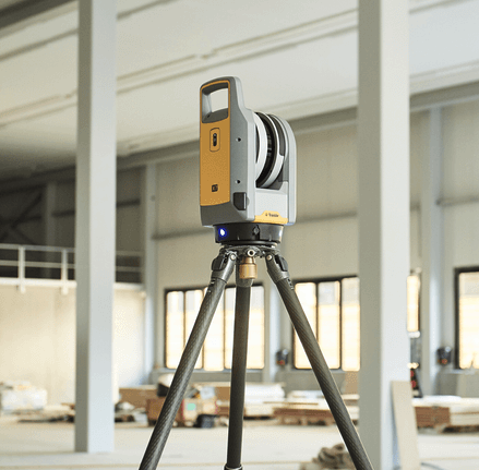
- Survey-grade instrumentation and control-based workflows
- Deliverables compatible with Revit, AutoCAD, Navisworks, and BIM coordination workflows
- Millimeter-level capture tolerance depending on site conditions and control setup
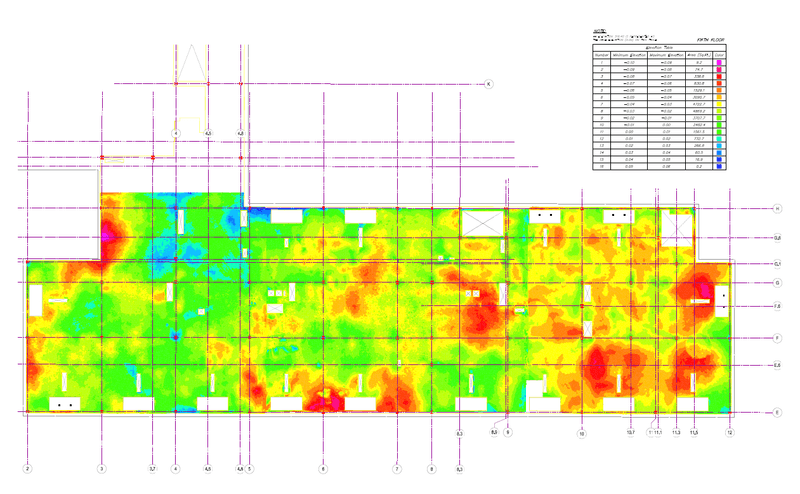
- Structured outputs for design, documentation, and area analysis
Typical turnaround ranges from several days to a few weeks depending on scope, building size, and required deliverables.


.gif)